Lesson Plans and Student Work
Celebrating GPS Navigation through The Dakar Rally & The Ocean Race. Location and movement & The Cartesian Plane.
Scroll ↓
The Dakar Rally & Volvo Ocean Race need navigation
Coordinates are real…
-
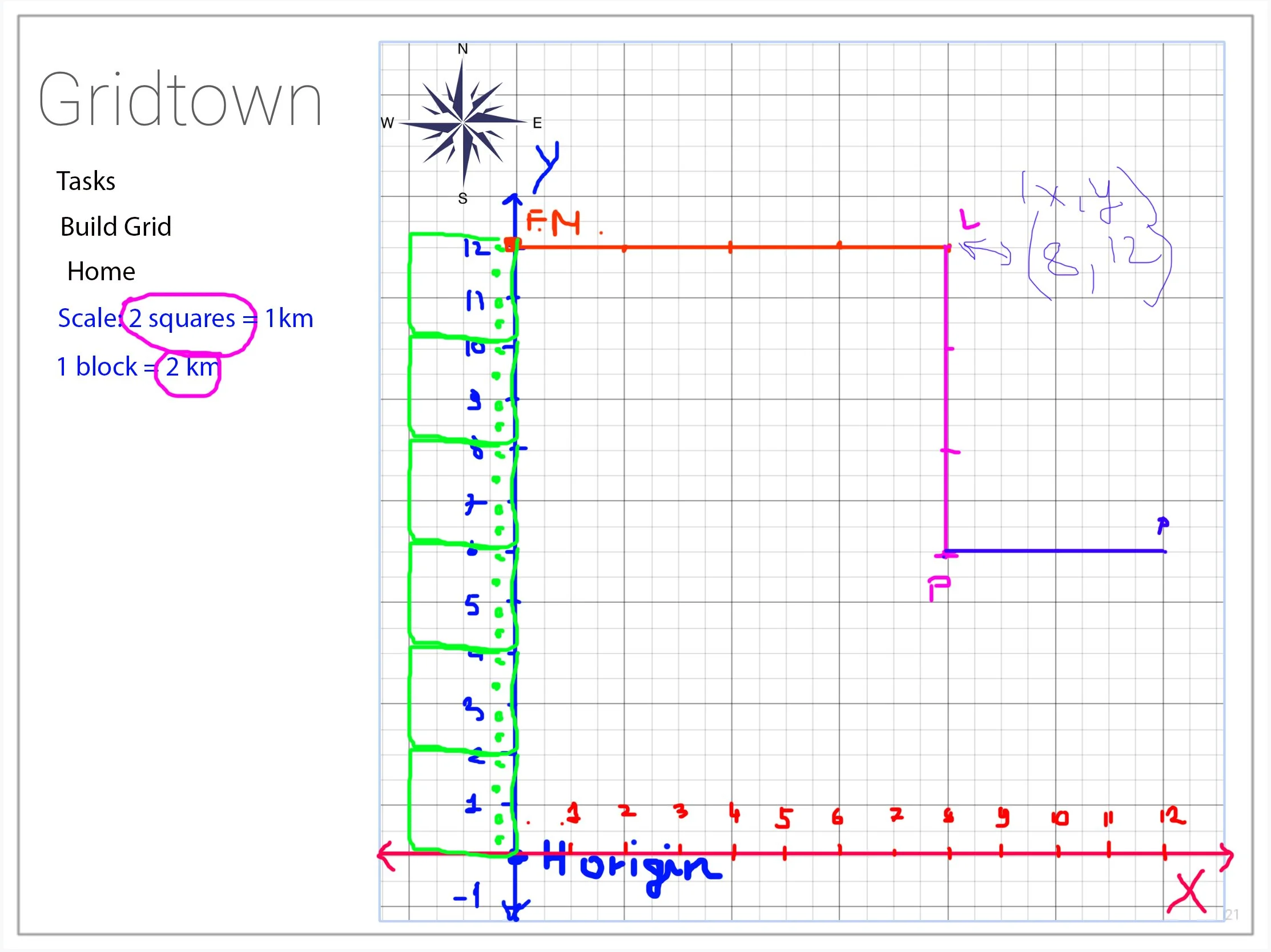
In order to understand the Cartesian Plane, students were taught how to plot x and y coordinates. However, to make the concept more practical, we delved into Longitude and Latitude and how to interpret GPS coordinates. This allowed us to vividly imagine ourselves in the driver's seat of Dakar rally cars and IMOCA class boats in the Volvo Ocean Race.
-
For this unit planning, the goal was to help students comprehend the Cartesian Plane and understand how to place x and y coordinates in its four sections. In order to make the lesson more engaging, we went further and taught them how to read GPS coordinates in Minutes and Seconds in real-life situations.
-
Throughout the project, the students were instructed on how to plot x and y coordinates on the Cartesian plane. Furthermore, they were educated on how to interpret GPS positions in minutes and seconds for both latitude and longitude. These skills were applied by manually marking points on a map with a pencil and ruler. To conclude, the students utilized Google Earth to input the coordinates and determine the names of the cities where each leg of the Ocean Race concluded.
-
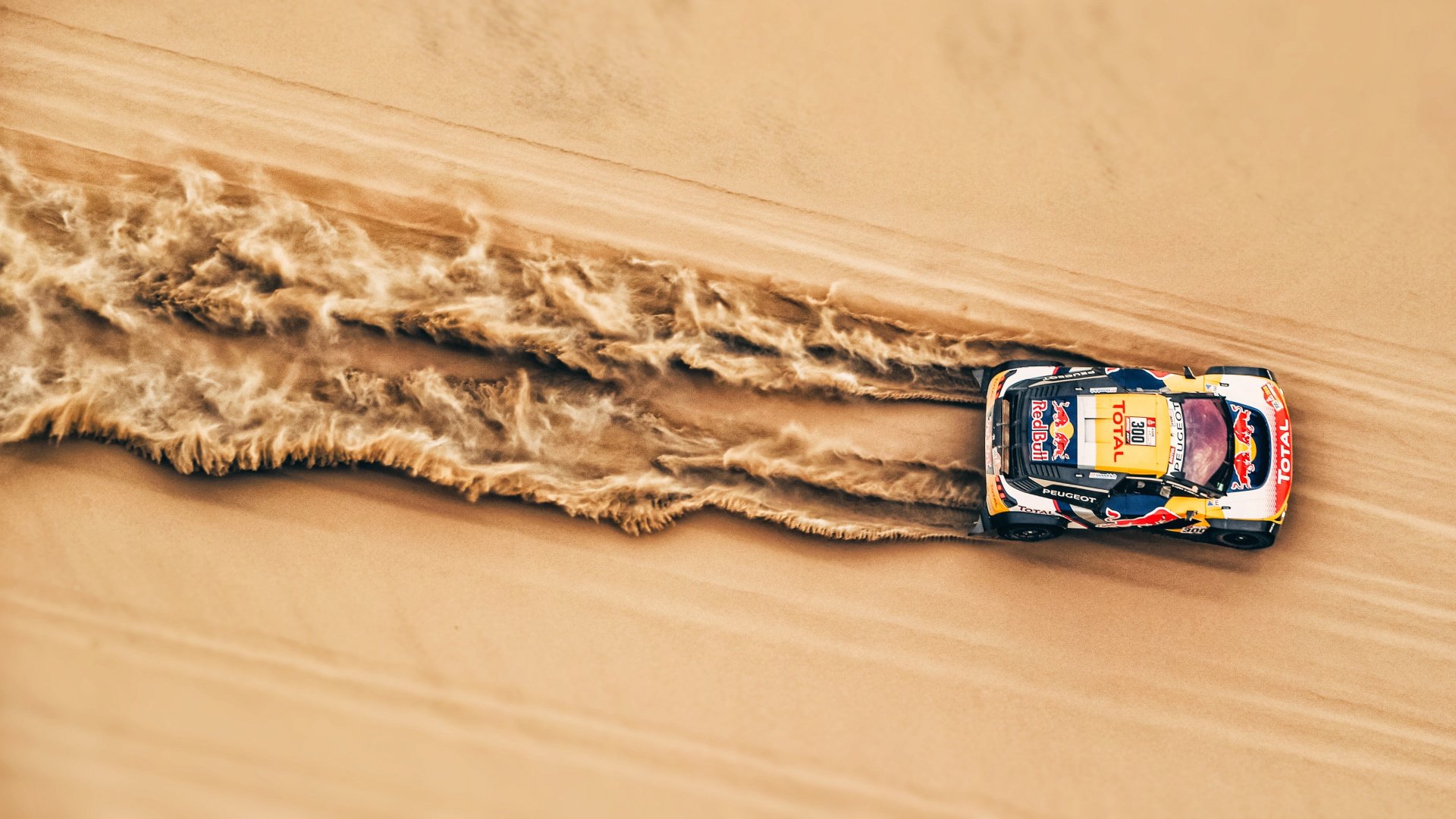
The Dakar Rally is a breathtaking endurance race that takes place in awe-inspiring landscapes. I aimed to inspire a sense of adventure among students and help them connect the dots between coordinates and map reading.
https://www.dakar.com/en/
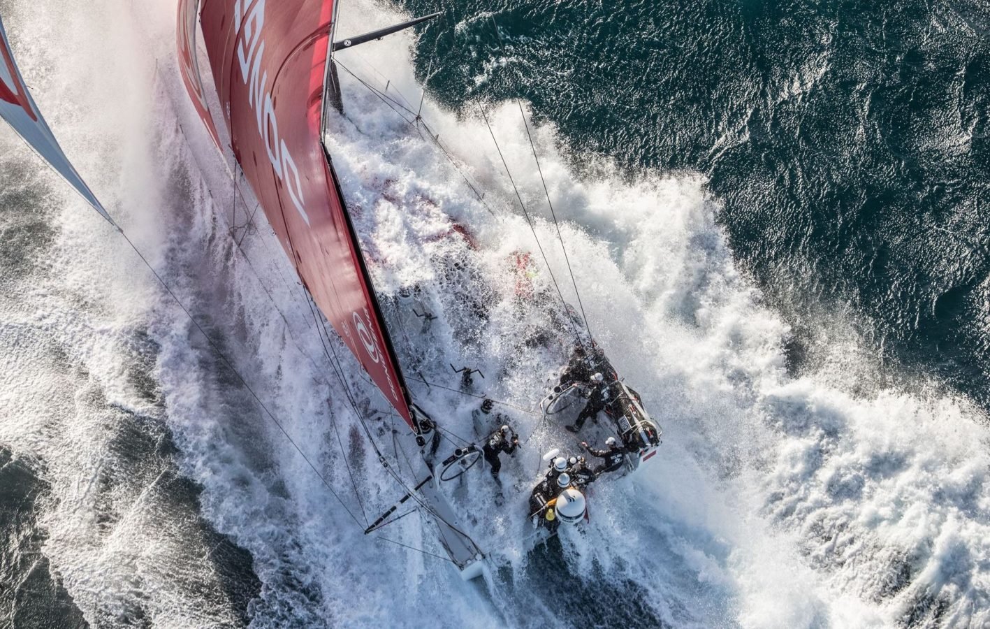
The Volvo Ocean Race is a remarkable competition that circumnavigates the globe in just 126 days. Navigators must skillfully interpret the wind, reefs, and conditions to chart their course, providing a stunning demonstration of harnessing the power of the wind.
https://www.theoceanrace.com/
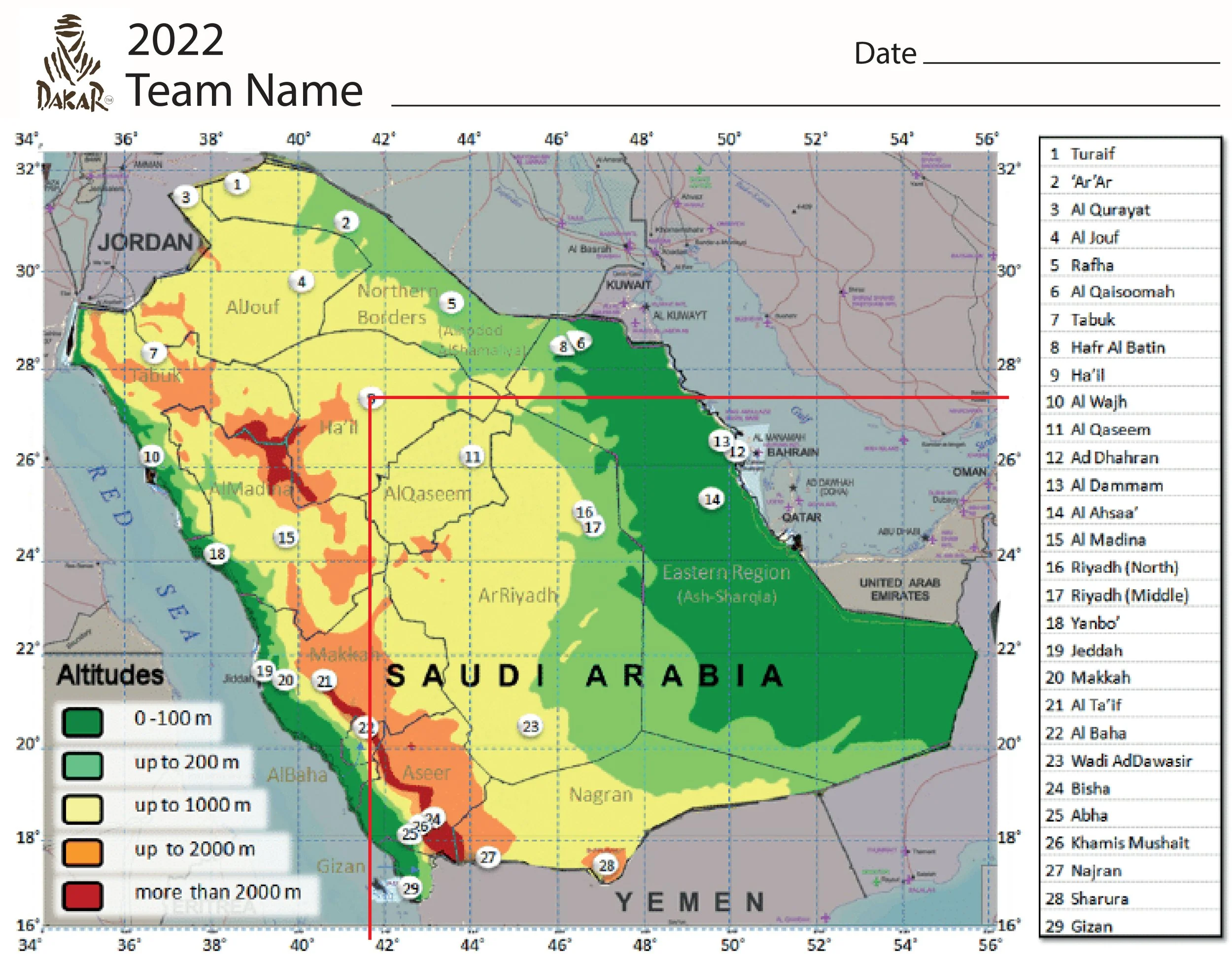

In the final assessment, students demonstrate their ability to correctly read GPS coordinates and use them to map out cities. They then utilize Google Earth to identify the names of these cities based on their coordinates.




Team Sun Hung Kai Scallywag, Hong Kong https://www.scallywaghk.com/

I am sharing a whiteboard demo that teaches how to interpret GPS coordinates.

Students place the coordinates on Google Earth.